Marianne Rijtma

Project
Track: 5, Dynamic risk based early warning risk maps
Species
Promotor
Fred de Boer
Co-promoter(s)
Kevin Madson
Institute
Description PhD project
Arboviral disease risk varies both spatially and temporally. The distribution of key vector and host species, as well as suitable climatic conditions are the main factors influencing this variation. Understanding the spatial and temporal variation in disease risk, thus requires in-depth knowledge on the spatio-temporal variation in abundance of key hosts and vectors. I will create a disease risk map that incorporates data on host and vector densities, distribution, competence and migration patterns. This map can be used to identify high-risk areas maps for setting priorities for surveillance activities.
Research questions / objectives
- Develop an assay that can be used to measure the innate antiviral immune response by using a blood sample
- Is there a relationship between the innate antiviral immune response and reservoir competence of birds?
- Identify key bird species associated with WNV outbreaks in humans in Europe, and identify host ecological traits that influence a birds proneness to host WNV
- Can the spatio-temporal variation in the distribution and densities of key mosquito and reservoir bird species predict high-risk areas for WNV
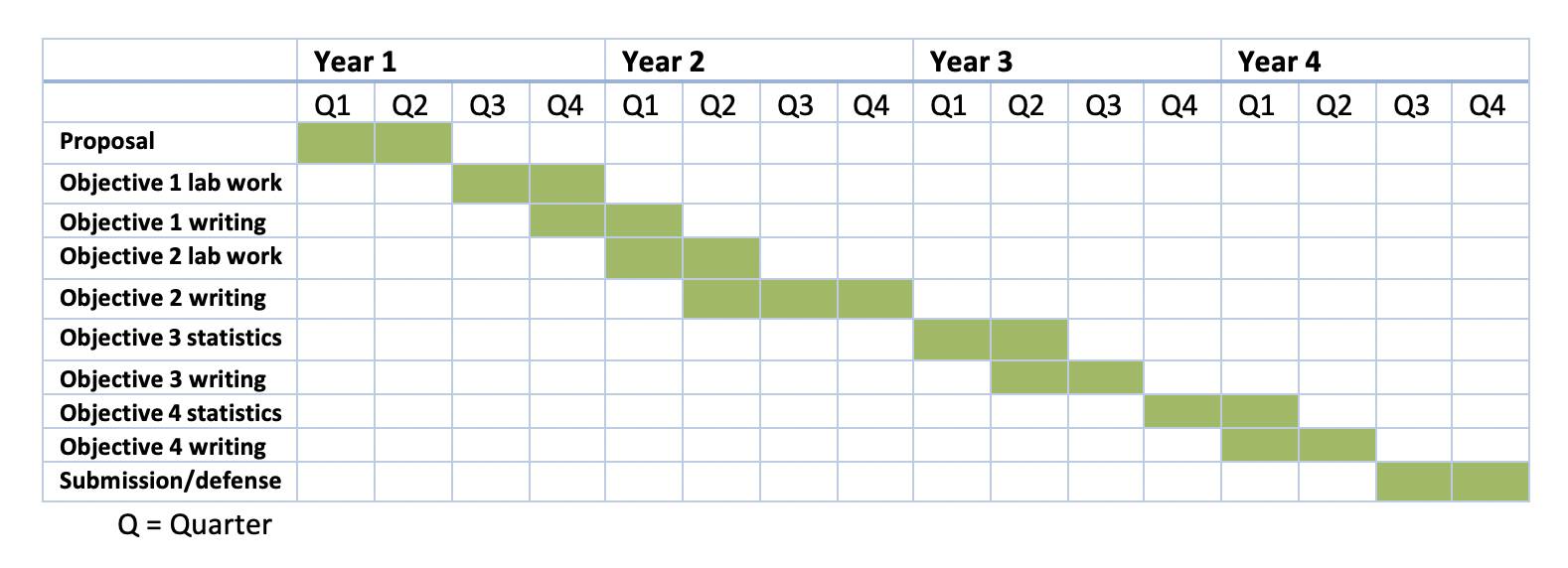
Timeline

Tags matching with the contents of track 5
Methods
-
Labwork
- In vitro: I will use blood samples to measure the innate immune response
Modelling
- Species distribution: I will use environmental niche models for birds and mosquitoes to map their distribution to use in predicting spatiotemporal variation in WNV risk
- Ecological modelling: I will use a statistical model to identify bird species associated with WNV outbreaks
Topics
-
Vector
- Vector abundance: I will use data on mosquito abundance in my WNV risk map
Host
- Host abundance: I will use data on bird abundance in my WNV risk map
- Host movement patterns: I will use data on bird migration in my WNV risk map
- Host immune response: I will look at the innate immune antiviral response of birds and compare between species
Environmental factors
- Climate: I will include climate data in my WNV risk map as the host- and mosquito abundance as well as viral replication are weather dependent
- Habitat type: I will link species distribution to landcover data
Species
-
- Bird: I will use data on bird density and distribution in my WNV risk map
- Mosquito: I will use data on mosquito density and distribution in my WNV risk map
Virus
-
- West Nile virus: My thesis focuses on predicting WNV risk